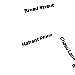
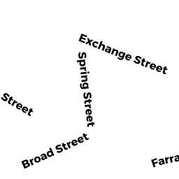
77 BROAD ST
Owner Information
HUMY REALTY LLC
77 BROAD ST
LYNN, MA 01902


Property Details
77 BROAD ST is classified as a Mixed Use (Primarily Commercial, some Residential) (2 fam stk).
The primary structure on this property was built in 1873. There are 3,662ft2 of built area within this property. There is 3,662ft2 of residential/living space within this property. There are 2 units within this property.
77 BROAD ST is valued at $742,400. The land is valued at $223,400 and the structures are valued at $517,400. There is an additional valuation of $1,600 on this property.
This property is in Zone R5. Confirm with local Zoning Board authorities to ensure there are no overlays or other easements on this property.
The most recent deed for 77 BROAD ST is recorded at the local registrar in Book 35993, Page 30. 77 BROAD ST was last sold on Friday, June 30, 2017 for $425,000.
Assessment data from fiscal year 2022.
Flood Data
According to the FEMA National Flood Hazard Layer, this property does not appear to be in a flood zone. It may also be in an area not yet reviewed. Nonetheless, confirm this information prior to taking any action.
To view the flood hazards around this property, create a FEMA "Firmette" Map of the area around 77 BROAD ST.
Broadband Internet Providers
| Provider | Type | Bandwidth (mbps) | |
|---|---|---|---|
| Viasat Inc | Satellite | 100 | 3 |
| Crown Castle Fiber | Fiber | 0 | 0 |
| Verizon New England Inc. | DSL | 15 | 1 |
| Verizon New England Inc. | Fiber | 940 | 880 |
| Comcast | Cable | 1000 | 35 |
| GCI Communication Corp. | Satellite | 0 | 0 |
| HughesNet | Satellite | 25 | 3 |
| VSAT Systems, LLC. | Satellite | 2 | 1 |
Broadband service provider data from December 2020.
Adjacent Properties
- 75 1/2 BROAD ST
Three-Family Residential owned by TARANA REALTY TRUST - 73 BROAD ST
Two-Family Residential owned by SUBER 2019 REVOCABLE TRUST - 71 BROAD ST
Single Family Residential owned by MERINO SESAR - 81 BROAD ST
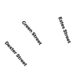
Apartments with Four to Eight Units owned by BLUE LIGHT PROPERTIES LLC - 21 DEXTER ST
Improved, Education (Municipal or County) owned by CITY OF LYNN - 81 R BROAD ST
Two-Family Residential owned by LAGATTOLLA PETER